Turns out the third stone in the last post Blubberhouses Moor Bimble
was unrecorded ?
and is now designated as 'Teddy Stone' but when I came to download the grid ref. marks from the Garmin GPS the lead to the computer went 'belly up' now one end is just a USB male but the other end is a stupid (Rip Off) Bastard Garmin shape and seen as I paid about 1/2 price of £20 there's no way I'm buying another, for one of the x4 tiny thin brass contacts to break off again, they must be designed to break. I'll hot wire/solder a USB socket to the GPS contacts then a new lead will be about £2
So this started off todays expedition to go back (20 miles) and take and write down the grid refs. and take a few more photo's and have a look about
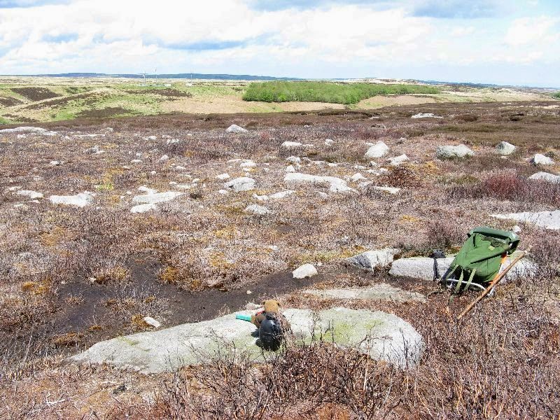
The Bear found 'his' stone again and had a Creme Brulee while I had a pipe
and within 14 feet the Grid Ref. is SE 13495 54929 at 1045 ft.
here's looking around from the 'Teddy Stone'
the Heather burn back has almost revealed a 'Cairn Field' which the Stone is the centre of
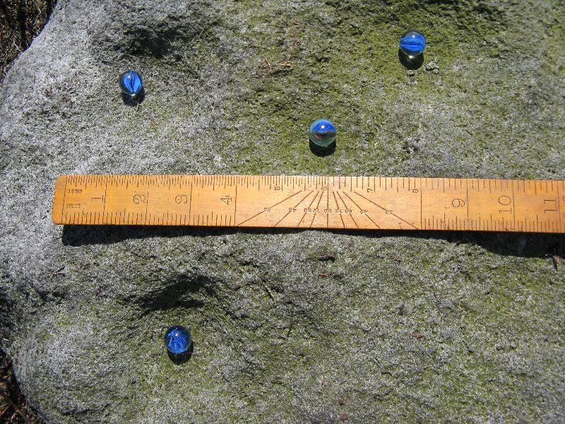
the Bear had a look under the burnt Heather covering but there was no more cups showing
so he put it back
and cleaned up the cups showing
then used the last of 'my' water to wet the rock
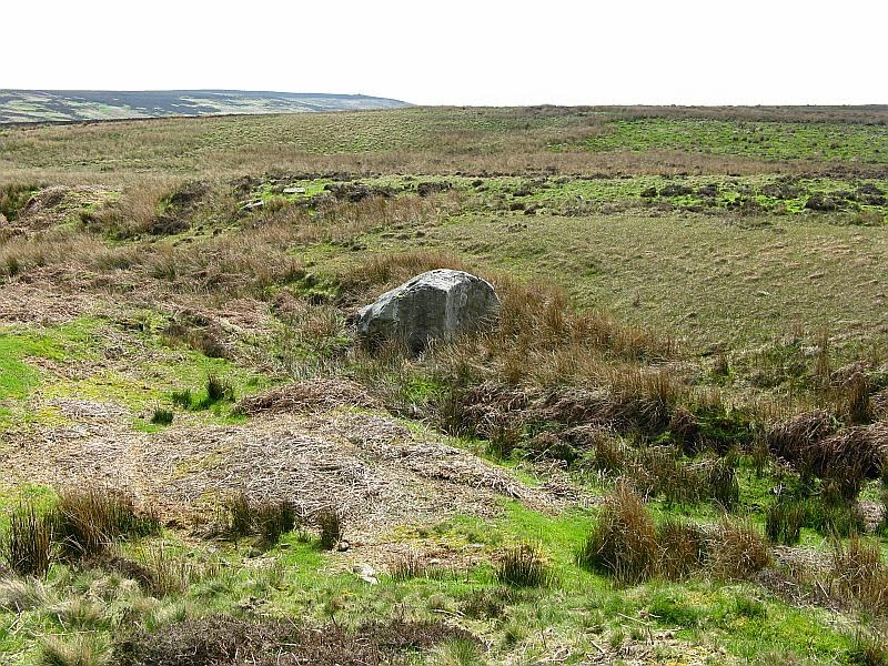
on the way back at SE 13377 54924 at 1037 ft.
then what looks like a Cairn at SE 13332 54884 at 1038 ft.
I think from now on I'll make a point of writing the 'marks' down, though it was an enjoyable day out to re do them plus the last 'Cairn' ? was a bonus
Exploring the Yorkshire Dales with a Teddy a bottle of wine a Pipe & Tobacco and a Primus in the haversack. All photo's clickable for larger image


